SURVEYING
Surveying
Surveying has been an element in the development of the human environment since the beginning of recorded history. The planning and execution of most forms of construction require it. It is also used in transport, communications, mapping, and the definition of legal boundaries for land ownership. It is an important tool for research in many other scientific disciplines.

Objective Of Surveying
-
To determine the relative position of any objects or points of the earth.
-
To determine the distance and angle between different objects.
-
To prepare a map or plan to represent an area on a horizontal plan.
-
To develop methods through the knowledge of modern science and the technology and use them in the field.
Importance in Civil Engineering
The planning and design of all Civil Engineering projects such as construction of highways, bridges, tunnels, dams etc are based upon surveying measurements. Moreover, during execution, project of any magnitude is constructed along the lines and points established by surveying
We offering survey services in following Areas
-
GNSS Based Geodetic Network
-
Triangulation and GCP Creation
-
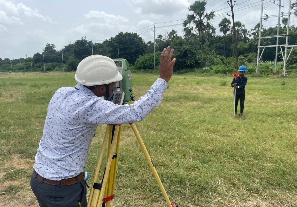
Total station and Digital level Survey
-
L-Section And Cross-Section Survey
-
Topographical Survey
-
Engineering Survey
-
Lidar and UAV Survey
-
Corridor Survey
-
Utility Survey
-
Transmission Survey
-
POI Survey and Navigation
-
Land Base Survey
-
Consumer and Property Survey
-
GPR
-
Utility Locator
-
Cadastral Survey
-
Bathymetric Survey
-
Underground Survey.. Tunnel Alignment etc.