GIS DEVELOPMENT & WEB GIS
GIS Development & Web GIS
Our Offering
-
Design, Development and maintenance of custom geospatial databases
-
GIS application development and enterprise integration
-
Implementation mobile solution around world
-
Enterprise GIS solutions
-
Web GIS application development and customization using ArcGIS Server, Map Server, GeoServer, Open Layers, etc
-
Web GIS Integration along with Oil & GAS Pipeline , Water Pipeline, Telecommunication, Power and Rods & Railway for designing, development and maintenance of spatial database
-
Development of Location Based Services (LBS)
-
Comprehensive data management, Geo-database development, Cross platform migration
-
Maintenance Support of construction management for Pipeline and Utility.
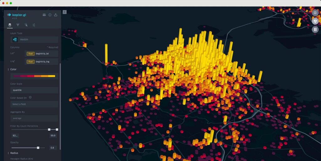
Advantages of Web GIS
With the help of Internet, clients can access the geospatial information over the web regardless of the fact how far the server and client might be from each other. Web GIS introduces distinct advantages over traditional desktop GIS, including the following:
1
Most of the Web GIS clients are web browsers like Internet Explorer, Google Chrome, Mozilla Firefox, Apple Safari etc. Because these web browsers are compatible with HTML and JavaScript standards, Web GIS that relies on HTML clients will typically support different operating systems such as Microsoft Windows, Linux, and Apple Mac OS.
2
The geographic data and maps can be presented to the world through Web GIS. Anybody locating anywhere in the world can access the geographical information from their computers, desktop or mobile devices. Almost all organizations open their firewalls at certain network ports to allow HTTP requests and responses to go through their local network, thus increasing accessibility for the clients.
4
The vast majority of content on the internet is free of charge to end users, and this also applies on Web GIS. Generally, you do not need to buy software or pay to use WebGIS service. Organizations that need to provide GIS service to individual users can also minimize their costs through Web GIS. Instead of buying and setting up desktop GIS for every user, an organization can set up just one Web GIS, and this single system can be shared by many users: from home, at work, or in the field.
5
Desktop GIS is intended for professional users with months of training and experience in GIS. Web GIS is intended for a broad audience, including public users who may know nothing about GIS. Web GIS is designed in such a way that navigating is as easy as using a regular website. Web GIS is specifically designed for simplicity, intuition, and convenience, making it typically much easier to use than desktop GIS.